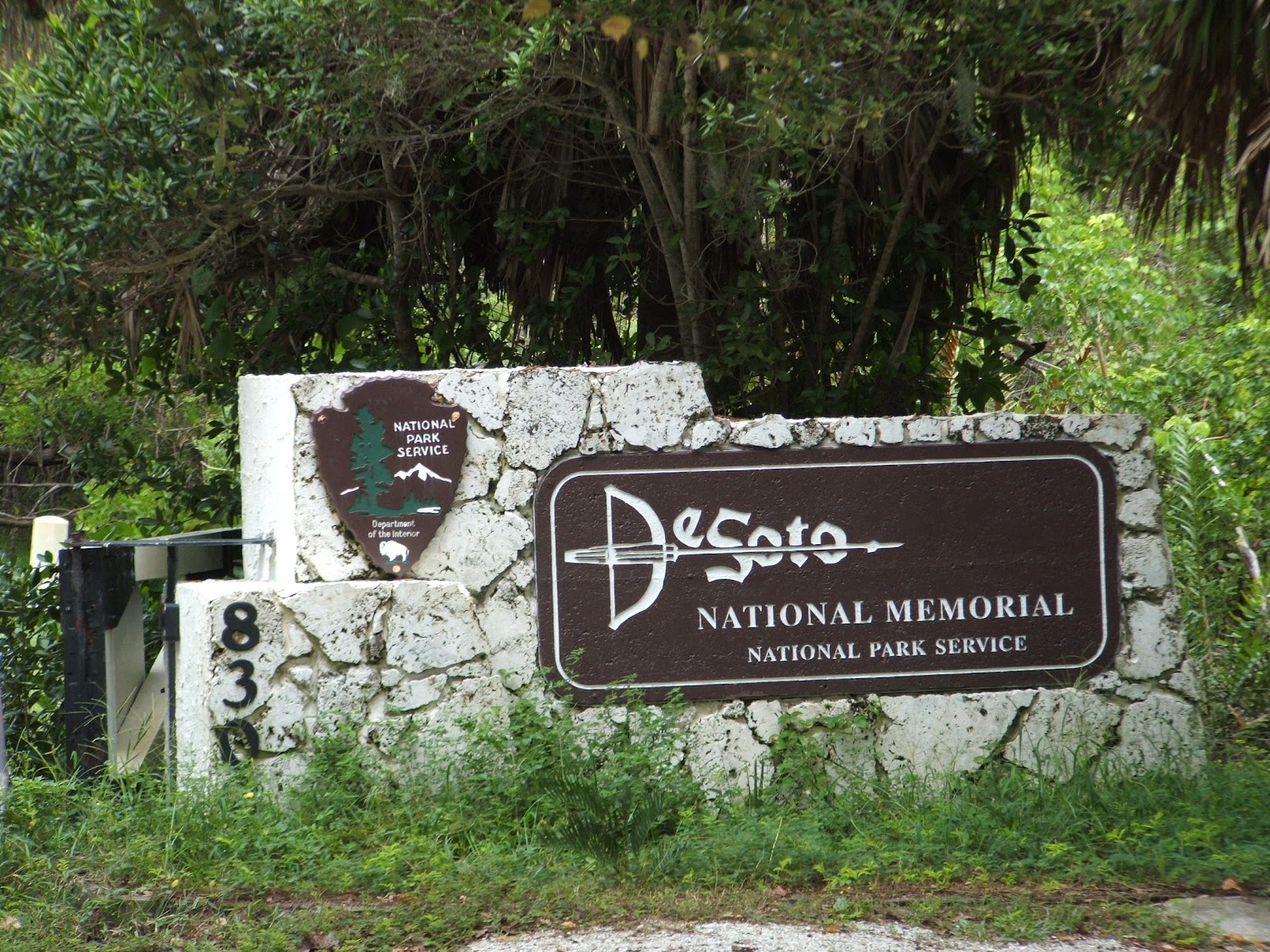
De Soto National
Memorial Site
# 9105
8300 De Soto
Memorial Hwy Bradenton, Florida
34209 Manatee County
On a
swelteringly hot day in May 1539, Spaniard Hernando de Soto splashed
ashore at Tampa Bay intent on capturing the riches of La Florida by any
means necessary. His army was alternately welcomed and opposed by
Native American tribes throughout what is now the Southeastern United States in
a four year, four thousand mile odyssey of intrigue, warfare, disease, and
discovery.

The visitor center has a 20
minute film, artifacts, and maps of the expedition. During the winter season, a
recreated native village is open to the public. De Soto National Memorial is
comprised of approximately 26 acres in Manatee County on the west coast of
central Florida. Situated on a spit of land at the mouth of the Manatee River
at its confluence with Tampa Bay, the park has over 3000 feet of shoreline.

Roughly 80% of the park is mangrove swamp with the remainder consisting of pine
flatlands and mixed hardwoods, remnant shell ridges, and deposited dredge
material from the adjacent Manatee River. The Indian mounds that were historically
located here were removed and used for road fill before the area was saved from
further development.

A visitor to De Soto National Memorial can quickly
experience four distinct natural ecosystems along the park's half mile nature
trail and boardwalk. The interpretive signage discusses the natural environment
and the Desoto Expedition with full color, life sized signs. The park is
situated along the south shore of the Manatee River at the mouth of Tampa Bay.
The Bay is a subtropical estuary consisting of open water and a mixture of
mangrove and salt marsh vegetation in the tidal zone.

The average temperature
is 72 degrees with January the coldest month and August the hottest. Sixty
percent of the annual rainfall falls during the summer months. The Memorial's vegetation generally consists
of salt tolerant species along the coast with pines and palmettos in the interior.
Coastal dune vegetation occupies about 20% of the site and occurs at water's
edge on a small sand ridge. A mangrove forest covers approximately 30% of the
site and occurs inland from the dune habitat.

Upland trees, mainly sand and
slash pine, occur on the higher elevations and make-up about 35% of the site. (See
also Emerson Point Preserve, Riverview Point Preserve, and Robinson Preserve
all located nearby.)
No comments:
Post a Comment