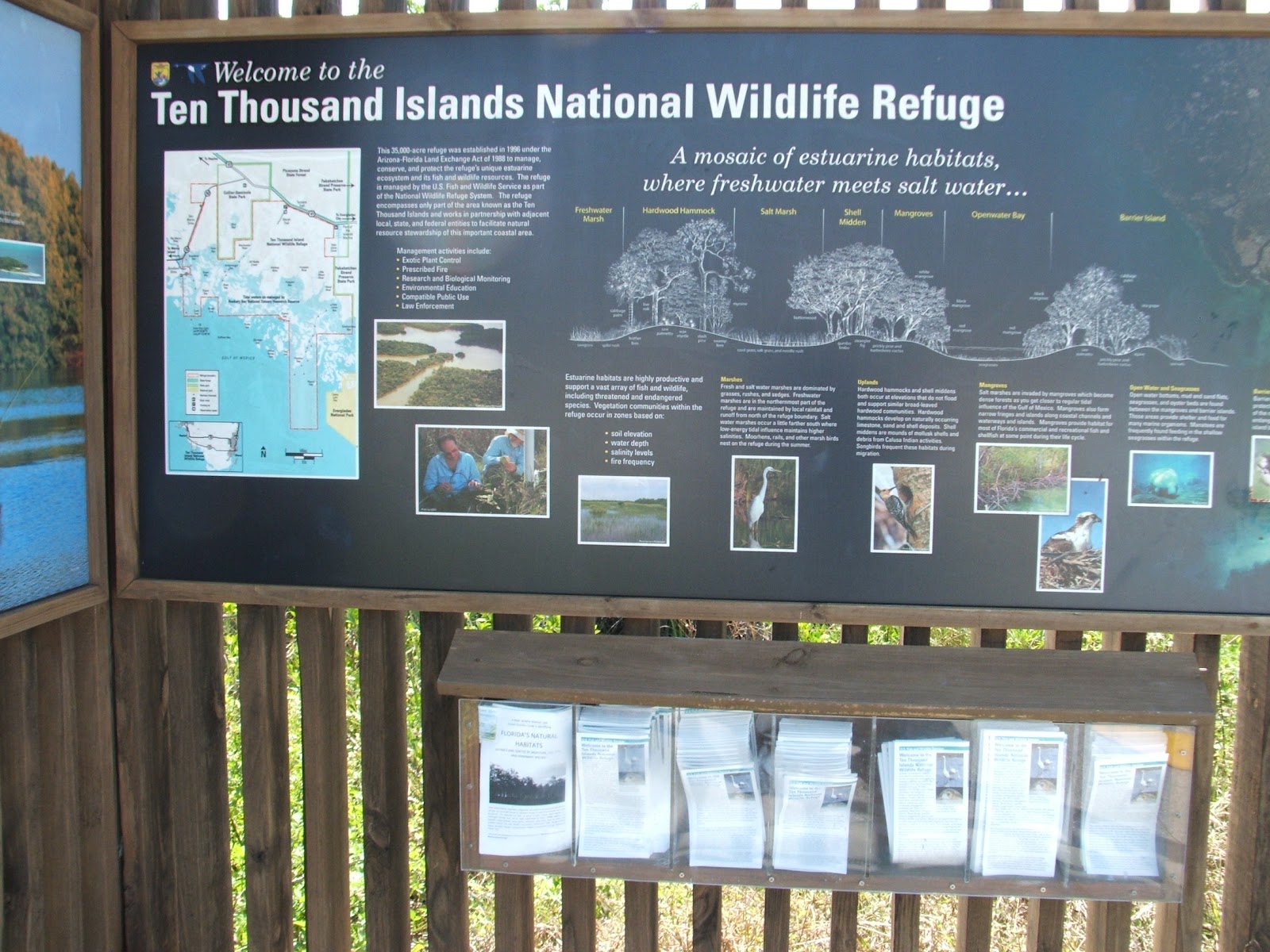
Photo- Just one of the natural public lands along the Tamiami Trail.
The Tamiami Trail is the southernmost 264 miles of U.S.
Highway 41 from State Road 60 in Tampa to U.S. Route 1 in Miami. The 165-mile
north–south section extends from Tampa to Naples. Then it becomes an east–west
road, crossing the Everglades and forming part of the northern border of
Everglades National Park on its way to Miami. Construction on the north–south
section began in 1915.
After Lee County ran out of money for the project, and
some political end-fighting between developers Captain Jaudon and Barron
Collier, the east-west route was changed to the south and then changed back in
1925. The final section of the Trail was completed in April 1928.
The Tamiami
Trail took 13 years and cost $8 million to build. Now a National Historic
Mechanical Engineering Landmark, the Bay City Walking Dredge that was used to
build the Tamiami Trail through the Everglades is on display at Collier-Seminole
State Park (Site # ). That Florida
State Park is located on US 41, 17 miles south of Naples.
In 1928, the Tamiami Trail was considered a feat of
engineering, although no one considered the potential damage to the Everglades.
It has acted as a dam to block water flow from Lake Okeechobee to Florida Bay.
As a result the Everglades has had its water flow greatly diminished over the
years, resulting in a devastating effect on the ecology of the region. In the
1990’s a few canals were filled and additional culverts were constructed under
US 41 to help facilitate water flow.
Yet this was only a partial solution to the
problems of the Everglades and the Tamiami Trail.In 2011 the US Army Corps of
Engineers began building a 5000-foot-long elevated bridge near Shark Slough in
Everglades National Park. The remaining roadbed has been improved to allow
higher water levels adjacent to the road for more water flow through the culverts
that are already in place. Shark River
Slough is one of the Everglades’ deepest and most important water passageways. The bridge will be an important first step in
returning the historic water sheet flow through parched Everglades National
Park and into Florida Bay. It will be beneficial to wildlife by reducing
habitat fragmentation and preventing road kill. The project will create jobs
and increase tourism while raising Everglades awareness at the same time. Increased
fresh water flow may also help protect the Everglades from salt water intrusion
if sea levels rise in the future.
Everglades National Park (Site # ), Big Cypress Preserve (Site # ), Seminole-Collier State Park (Site # ), Picayune Strand State Forest (Site
# ) are located along the Tamiami
Trail.
A true turning point for development in the Everglades came
in 1969 when a replacement airport was proposed as Miami International Airport
outgrew its capacities. Dade County Port
Authority bought 39 square miles of land in the Big Cypress Swamp without
consulting the water management district, the management of Everglades National
Park or the Department of the Interior. Park management learned of the official
agreement to build the jetport from The Miami Herald the day it was announced.
The new jetport was planned to be larger than O'Hare, Dulles, JFK, and LAX
airports combined. The location chosen
was along Tamiami Trail 6 miles north of the Everglades National Park.
The
water management authority went on the offensive and brought the jetport proposal
to national attention by mailing letters about it to 100 conservation groups.
The jetport was intended to support a community of a million people and employ
60,000. When studies indicated the
proposed jetport would create 4 million gallons of raw sewage a day and
thousands of tons of jet engine pollutants a year, the national media started
to pay attention. The 78-year-old author Marjory Stoneman Douglas was persuaded
to go on tour to give hundreds of speeches against it. President Nixon
established Big Cypress National Preserve in his Special Message to the
Congress Outlining the 1972 Environmental Program.
Following the jetport
proposition, restoration of the Everglades became an international priority. In
the 1970’s the Everglades were declared an International Biosphere Reserve and
a World Heritage Site by UNESCO, and a Wetland of International Importance by
the Ramsar Convention. The single runway Dade Training and Transitional airport
is all that stands on the site today, and can be seen from the Big Cypress
National Preserve Welcome Center.
Alligator Alley roughly parallels the Tamiami Trail about 30
miles to the north. Construction started n 1964, and it opened to traffic in
1969as a two-lane toll road connecting the two coasts of Florida as State (Toll)
Road 84 “The Everglades Parkway”. Originally despairingly nick-named “Alligator
Alley” by AAA due to tolls and a two lane design, the State taunted back by
officially naming it Alligator Alley in August 1966. Engineering allowed for
eventual widening to four lanes, but the initial road was two lanes wide and
arrow straight.
Signs posted along the route encouraged motorists to use
headlights for safety. Many high speed head-on passing crashes occurred on the
road until it was made a four lane Interstate.
Borrow canals flank the route, where dirt was dug up from both side to
raise the roadway 7 feet above the wet season flood zone. The construction
avoided the dam effect that the Tamiami Trail had caused 40 years earlier by
putting in bridges every mile or so, which allowed a much more natural water
flow than the Trail.
It was determined in 1973 that Interstate 75 would use
this route for the Tampa-Miami extension instead of the Tamiami Trail because
of the initial engineering, land purchases, and fore-thought practiced during
construction. It was widened to four
lanes between 1986 and 1992, with many bridges re-designed to let water and
wildlife pass underneath. This helped to reduce the environmental impact of the
highway, especially upon the endangered Florida panther.